Learn how to plan safe, scenic cycling routes using Google Maps with tips on biking mode, elevation checks, offline maps, and Calgary-specific routes. Avoid car routes and find real bike paths.
Looking for a good ride around Guildford? You’re in the right place. Whether you’re a seasoned rider or just hopping on a bike for fun, the town has plenty of paths, quiet streets and scenic trails. This page pulls together the most useful tips, from finding safe routes to choosing the right navigation app.
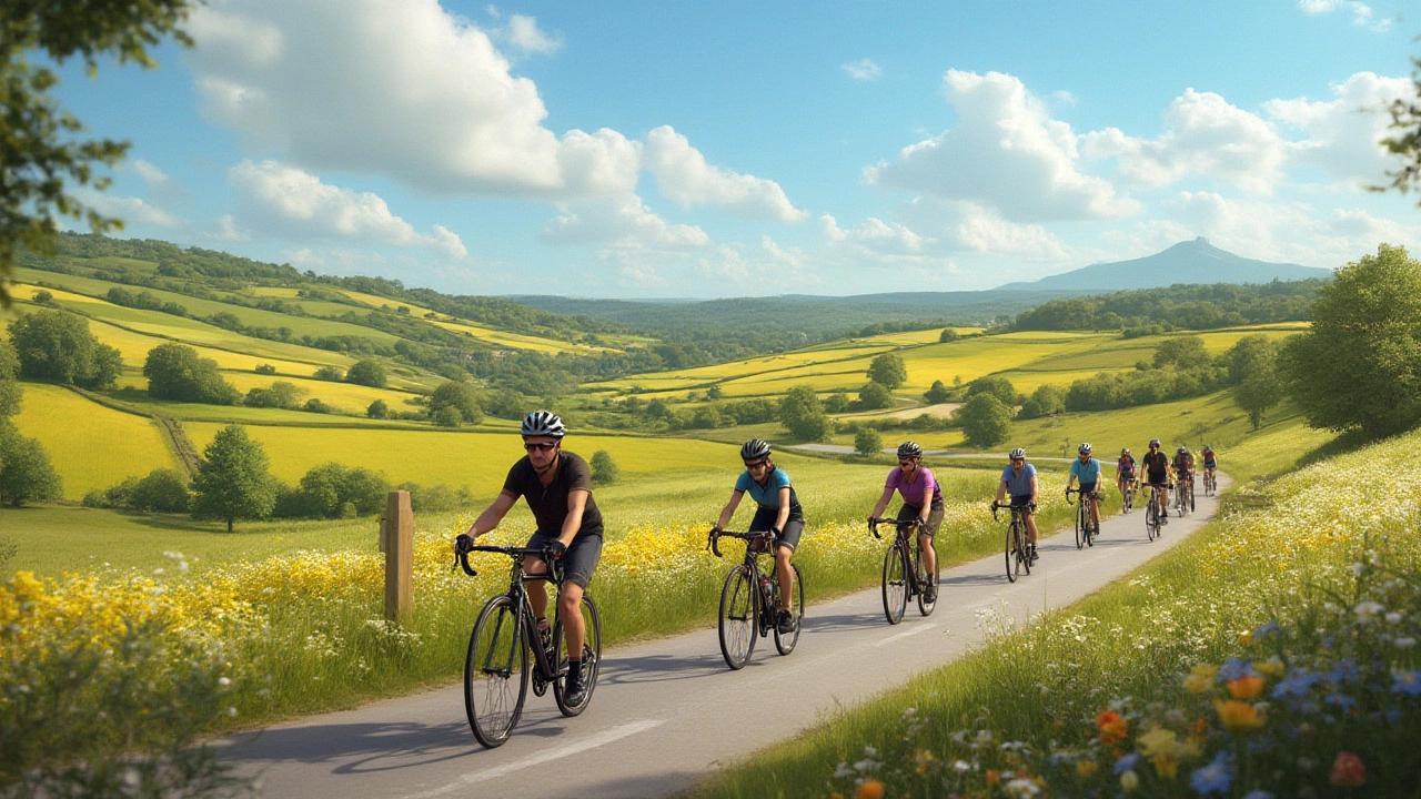
First things first – a great ride starts with a good route. Check the surface: smooth pavement works best for road bikes, while wider gravel tracks suit hybrids. Look for low‑traffic streets or dedicated bike lanes to stay safe. Guildford’s riverside paths and the countryside loops around The Vale are popular for their views and gentle climbs.
Our article Best Cycling Routes: How to Find a Safe and Enjoyable Ride breaks down exactly what to look for. It covers how to spot well‑maintained roads, avoid busy junctions and pick routes that match your fitness level. Use the council’s bike map as a starting point, then test a few sections to see how they feel.
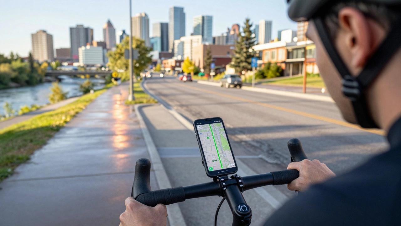
Google Maps has become a staple for cyclists, and for good reason. The Master Bike Routes with Google Maps: Your Ultimate Guide article shows you how to turn on the bike layer, customize routes to avoid hills or traffic, and even share favorite paths with friends. It’s simple to use and works offline if you download the area ahead of time.
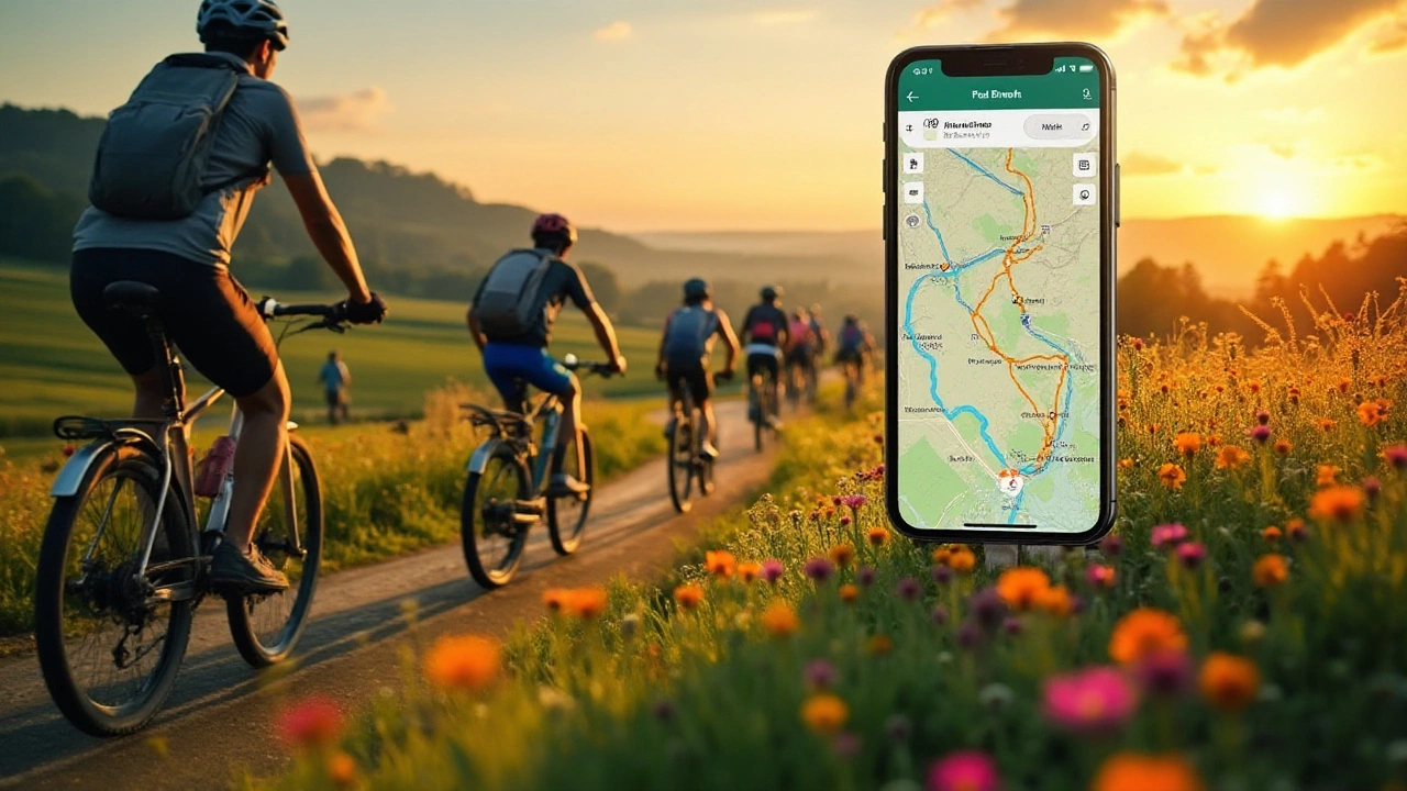
If you want more bike‑focused features, there are great alternatives. Our piece Top Alternatives to Google Maps for the Adventurous Cyclist reviews apps that give elevation profiles, community‑submitted trails and real‑time surface updates. Apps like Komoot and Ride with GPS let you plan rides with detailed climb data – perfect for tackling Surrey’s rolling hills.
Whichever tool you pick, make sure it shows bike‑friendly routes rather than just the fastest car path. Most apps let you filter for bike lanes, off‑road tracks and low‑traffic streets. Save a few favorite routes so you can pull them up quickly on the ride.
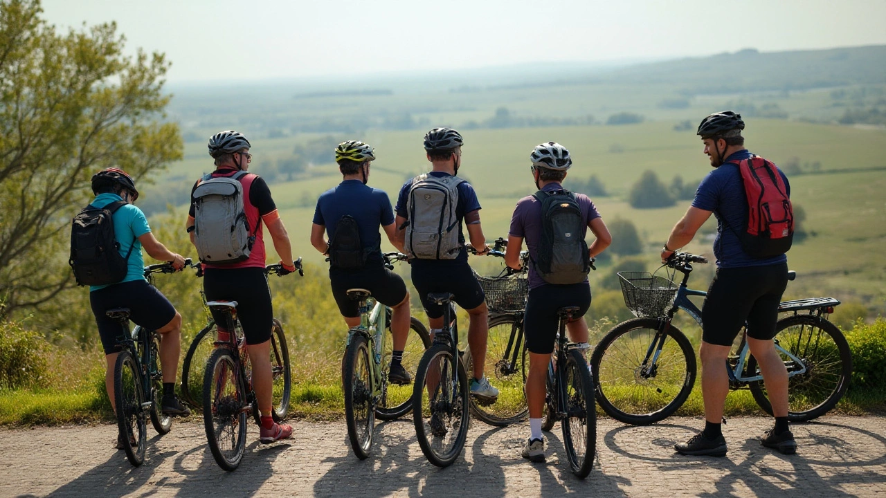
Ready to hit the road? Browse the articles above for step‑by‑step instructions, then head out and explore. Guildford’s cycling community is active on local meet‑ups, so you’ll always find someone to ride with or a new path to try. Keep this page bookmarked – it’s your hub for all things cycling in the area.
Learn how to plan safe, scenic cycling routes using Google Maps with tips on biking mode, elevation checks, offline maps, and Calgary-specific routes. Avoid car routes and find real bike paths.
Discover what separates the best cycling routes from the rest. Get real tips for picking safe, scenic, and rider-friendly paths for every level.

Discover how to make the most of Google Maps for planning your next biking adventure. Learn how to find bike-friendly paths, customize your route, and even explore new trails. With user-friendly tips and hidden tricks, transform your cycling experience easily. Never get lost or stuck in traffic again and ensure smooth rides with Google Maps.
Navigating through the best cycling paths doesn't always mean relying on Google Maps. There are several apps designed specifically for cyclists, offering route planning, elevation details, and community-shared paths. These alternatives cater to both casual bikers and seasoned pros, providing tools that enhance the cycling experience. Explore the world on two wheels with tailor-made navigation apps that prioritize bike-friendly routes.
Google Maps offers the ability to navigate the world with ease, and for cyclists, it has become an indispensable tool. This article explores the features of bike routes on Google Maps, providing insights into how cyclists can leverage this technology for better navigation. Whether planning a short city ride or a long road trip, understanding how to use bike routes can enhance the cycling experience. The article offers tips on customizing routes, understanding terrain challenges, and sharing discoveries with fellow riders.