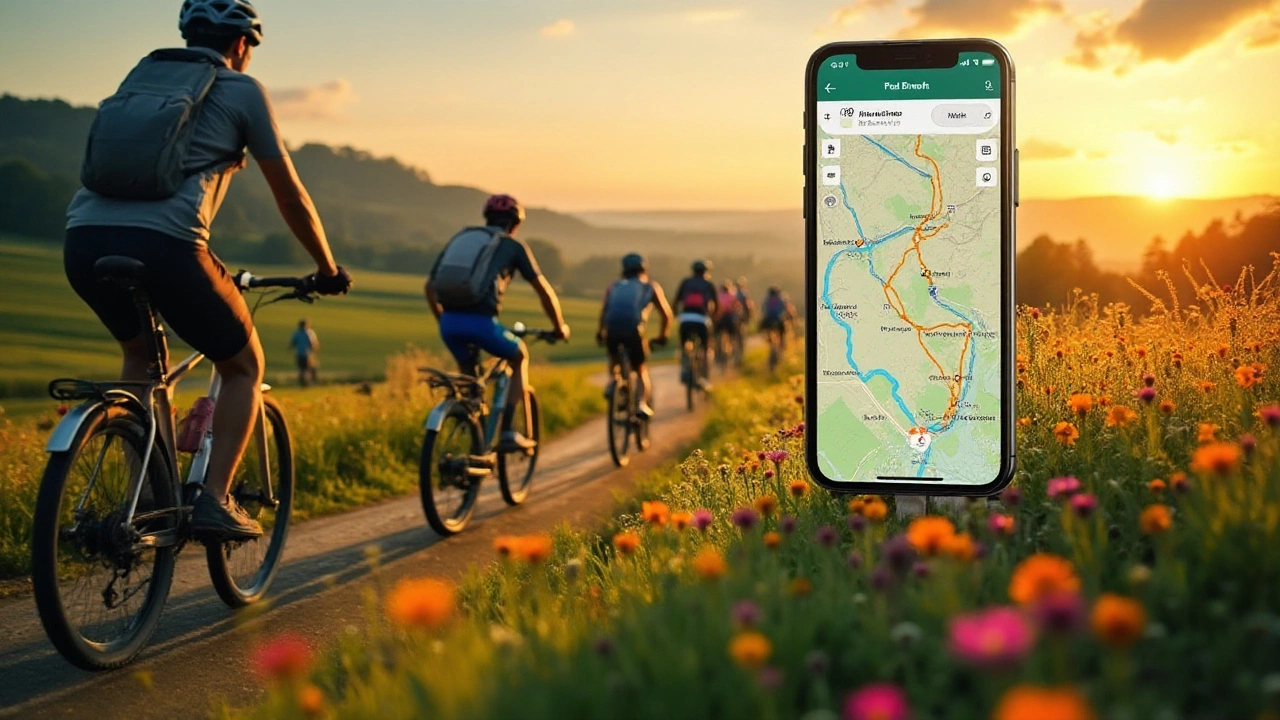
Navigating through the best cycling paths doesn't always mean relying on Google Maps. There are several apps designed specifically for cyclists, offering route planning, elevation details, and community-shared paths. These alternatives cater to both casual bikers and seasoned pros, providing tools that enhance the cycling experience. Explore the world on two wheels with tailor-made navigation apps that prioritize bike-friendly routes.
Bike Navigation: Simple Ways to Find the Best Routes
Ever started a ride only to wonder "Where am I going?" You’re not alone. Getting from point A to B on a bike doesn’t have to feel like a guess‑work treasure hunt. With the right tools and a few planning habits, you can ride confidently, avoid traffic snarls, and discover hidden scenic paths in Guildford and beyond.
Choosing the Right Navigation App
There are dozens of apps promising perfect bike directions, but a few stand out for simplicity and accuracy. Komoot lets you pick “road,” “trail,” or “mixed” surfaces and then builds a route that respects your chosen difficulty. Ride with GPS offers custom route creation, downloadable GPX files and voice prompts that work offline – great when you’re off the beaten track. If you just need quick turn‑by‑turn directions, Google Maps now includes a dedicated cycling layer that highlights bike lanes and bike‑friendly streets.
When testing an app, look for three things: clear bike‑specific routing, offline map access, and an easy way to export the route to your bike computer or phone. Most riders find that a combination works best – use Google Maps for everyday commutes and switch to Komoot when you want a weekend adventure.
Planning Safe and Scenic Bike Routes
Safety starts with knowing the road ahead. Before you hop on, pull up the route on a desktop map and spot any busy intersections, steep hills, or construction zones. If the route crosses a main road, check if there’s a bike lane or a protected crossing. In Guildford, the River Wey towpath offers a quiet, traffic‑free stretch that’s perfect for a relaxed ride.
For scenery, think in layers: start with major trails (like the National Cycle Network) and then sprinkle in local shortcuts. Apps like Strava’s Heatmap show where local cyclists already ride, giving you a hint about popular, well‑maintained paths. Don’t forget to add a few “stop‑over” spots – a park bench, a coffee shop, or a viewpoint – so the ride feels like an outing, not just a commute.
Another pro tip: set your GPS to “shortest distance” for a quick trip, and to “quiet roads” when you crave a leisurely ride. Most apps let you toggle these preferences with a single tap, saving you time and keeping the experience tailored to your mood.
Finally, keep a backup plan. Download the map for offline use, write down the main street names, or even print a tiny sketch of the route. If your phone dies, you’ll still know which way to pedal.
By picking the right app, scouting the route ahead, and having a fallback, bike navigation becomes a smooth part of your ride rather than an obstacle. So next time you head out, skip the wandering and let your bike guide you straight to the good stuff.
