Google Maps for Guildford Sports: Your Handy How‑To
If you’ve ever missed a match because you got lost, you know how frustrating it can be. The good news is that Google Maps can solve that problem in seconds. Below you’ll find straightforward steps to locate any sports venue in Guildford, map out training routes, and keep an eye on upcoming events – no tech wizardry required.
Finding Venues and Events Fast
Start by opening Google Maps on your phone or desktop. Type the sport you’re interested in, followed by “Guildford” – for example, “rugby Guildford” or “cycling Guildford”. The map will instantly drop pins on local clubs, stadiums, and community fields. Tap a pin to see opening hours, contact details, and a link to the venue’s website where you can check match schedules.
If you already know the name of an event, just type it straight in. Google often pulls the official event page, so you can see the exact start time, ticket price, and parking options. Save the location to “Your places” so it shows up whenever you search “near me”. That way, you never have to type the full address again.
Another quick tip: use the “Explore” tab and filter by “Sports”. This shows a live feed of nearby clubs, gyms, and leagues that have recently updated their listings. It’s a great way to discover pop‑up games or new training groups that don’t appear in a simple Google search.
Planning Safe Training Routes
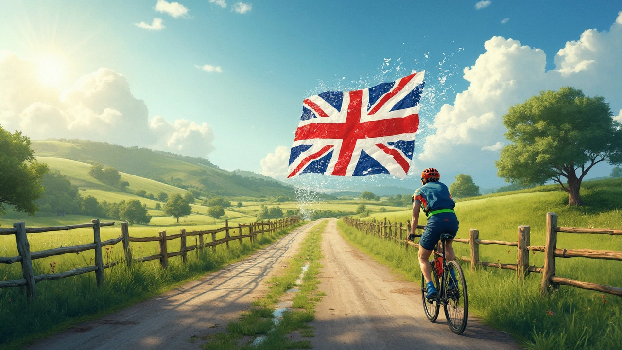
Whether you’re a runner, cyclist, or dog‑walker, Google Maps can plot a route that matches your fitness level. Click “Directions”, choose the walking, cycling, or running icon, and then drag the line to avoid busy streets or steep hills. The app will automatically calculate distance, estimated time, and elevation – perfect for planning a 5 km run or a longer weekend ride.For cyclists, turn on the “Bike lanes” layer under the map menu. This highlights dedicated cycle paths and trails, many of which wind through Guildford’s parks and along the River Wey. You’ll also see traffic‑light timings and bike‑friendly cafés where you can grab a post‑ride snack.
If you’re training with a group, share the route directly from the app. Everyone gets the same turn‑by‑turn directions, and you can set a meeting point at a recognizable landmark – like the Guildford Castle or a local pub. The built‑in “Live location” feature lets teammates see each other in real time, which helps keep the group together on longer rides.
Don’t forget to enable “Offline maps” before a big event. Download the area around the venue, and you’ll still have turn‑by‑turn guidance even if the stadium’s Wi‑Fi is overloaded. It’s a small step that saves a lot of hassle on match day.
With these simple tricks, Google Maps becomes more than just a navigation tool – it’s your personal sports assistant for Guildford. Keep the app updated, explore the layers, and you’ll always know where the action is, how to get there, and the best route to train on. Happy exploring!